 My day started at noon on the 7th of December, with an eat all you can lunch team building at Ortigas, followed by a collegue visit at the Lung center, then a 9hr shift that ended at 2am on the 8th. Heavy shit. Hardly any rest. And a lot in mind. I had less than two hours to finalize and limit my pack to 15kilos as I had to leave at 4am to meet with the rest of TUCO (The United Climbers Organization), same guys I frequently join and adopt myself into- supporting their climbs and causes. This time, its a climb to Tanay Rizal, starting at Barangay Daraitan crossing General Nakar Quezon and back.
Im not implying that it is ok to go through the same abuse, nor brag about my capacity to endure, or say that the climb was easy, NO. I was left with no choice in cramping these activities in the hours I am awake and it was never ideal for me that most, if not all of my climbs are right after my Night work shifts.Getting there.
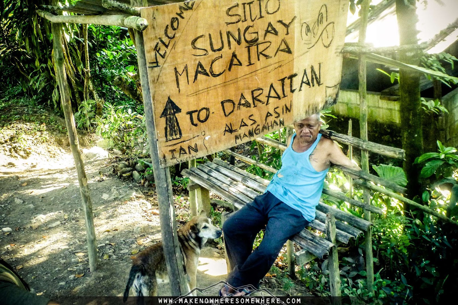
Its an hour and a half ride to Tanay Market from Shaw. There are jeepneys at Shaw that your group can arrange. From Tanay, our group of 23, filled up our needs and supplies and chartered another jeep for another hour and a half ride to Daraitan. I cannot provide you details of our fare and expenses as this is a group event. (P750 for transpo, guides fees, registration, t-shirt, ID etc)
It is highly suggested to go in groups to lessen expense as the place is far flung going into dirt roads and passing by Cafgu Headquarters and checkpoints.
Cellphone signal at the jump off is spotty at best. At the campsite, none.
 |
| Barge and boat transfers. |

At the end of the jeep ride, we were greeted by a scenic view of the mountains and a wide river stream with rental huts at the side.
Despite its distance, there are spots of people-concentration that does not deprive you into thinking that you are far from civilization.
This marks your first landmark and a good way of ending your trip after the climb. There are huts and stores here. 170 MASL.
Barangay Hall
Getting to the nearby community requires a barge or boat transfer, just a stone throw across as well as a 20minute walk to get to the barangay to register (ask for directions). You can also buy your packed lunch if not load up in nearby eateries here. Fill water containers here as the next water source is from a deep well in Barangay Cablao in Quezon, about 2 hours away.
 |
| Cemetery: Sacred Grounds. |


 |
| Boulders along the trail. |

Normally, visitors camp at Tinipak river marked by huge white boulders and wild rapids, only 15 minutes from the nearby Barangay hall. Be warned though that these are rough waters and locals do not encourage guests to endulge in bathing in these parts of the river for safety reasons. There is also a cave in the area to explore.
*Trail is unshaded
The trail is generally open with shades that rarely block the prowess of the sun. Expect torture from the heat. Hydrate. Expect flat to moderate ascents at most parts of the hike.

Im not sure if this is a locally recognized name or just made up by TUCO but this flight of unevenly measured cemented stairs is sure to max out your heart rate. Kicks off at 280 and ends at 315MASL. 437 steps.
*There is a fork a few minutes before arriving at this part of the trail, don't take the left trail or the one ascending.

Just above the Jejemon trail is a resting hut as well as a community and a school. Ask one of the kids to take you to the water source a few minutes away. Deep well water- not as ideal as flowing mountain water. Just get enough trail water till the next water source. (about 1.5hours away) There are stores here you can buy finger foods, softdrinks etc. Here, you will be prompted for a new guide as this is already part of Quezon.
 |
| Church and Headquarters. |

A few hops away is the Cablao Chapel and up the hill is the Army Detachment. They dont trust visitors that much and as part of the location transition, you all have to sign in again and log each of your phone numbers. Since there are Nice People Around, your guides will also ensure that you do not head where you are not supposed to go.

Is an old resented house that still stands. Seems like bats or rats lived here, evident in the decay and remnants inside the structure. You will notice a pipe along the muddy trail going here. There is a gap that can be pulled off the pipes under a tree- just before the house where you can refill your water needs. This is the last water source.
*Muddy trail going here.
Bahay Ulingan
There is a clearing visibly noted by cut woods. This should mark roughly your 4th hour if you take frequent 15 minute rests like we did.

Dont raise your expectations too much as the grasslands is still about 15 minute flat ground walk. Schedule your breaks and make sure the sun is forgiving when you reach this open area.
*Blade grasses, wear leg and arm protection.
Campsite
You will eventually see the small campsite from where you stand. Pursue the path going down and take the right ascent following the small water stream. It may not be as visible (when the grasses disappear and trees show up- further, a small falls- back trail- You will take this route going further down on the way back to the jump off). Take this ascending path for another 20minutes or so. 500MASL marks the Campsite. The campsite is small-limit your tents to at most 10.
Going Down.
The descent can be negotiated in less than 2hours. Take the left trail at the first fork after the small falls. Follow the horse trails. Trail here is muddy and at most parts rock pelted. Slippery even to Vibram soles.
*Trekking poles are handy to maintain balance over slippery trails.
Log off at the Barangay Hall and proceed back at Daraitan River for lunch and swimming. If you plan to cook at the river, load up on water at the Barangay as the water source at the river means crossing the boulder festered river a few times. You can also buy food from the eatery besides the Barangay.
You can clean up in the river and change clothes in a nearby toilet or wash up at a locals' home.
Make sure you have arranged for a jeep to pick you up, as transportation here are scheduled and not as many.
Gear Notes:
- The Apexus Halcon stood up to the monster rain we were met with at the campsite. The flysheet doors were not properly stretched due to the lack of space but grasses helped to limit its distance from the main tent. I felt water gushing under the foot print and drops penetrate when heavy weight is pressed on the tents base but it held up and kept me dry.
- I swear I would have left the flysheet, but remembering rivers-it always precipitates where it condensates.
- I realized my pack is 2.5kilos on its own. I need to start saving up for a Silangan Rev 20 or a Mountain Hardware Sprite 1 to lessen the load. Besides, I never really needed the space for two people but myself. A 1person tent should do.
- Aluminum Foams are good earth protection and heat retainers as well as backpack molders but not as good as rubber mats. They hold pack form better and generate heat more when slept on. Val will give me some of his excess.
 |
| Small but capable short of a jeep transpo. Top load with caution. |
 |
| Top load. |

 |
| Iced Tea. |
 |
| Survivors of the wrath of the evening downpour. Mga naligo sa ulan, pero walang paki alam sa ginaw. |
 |
| Not Pulag, but with sea of clouds. |
 |
| Morning risers. |


 |
| Cooked rice with egg and kinchay + kaldereta + P3 lumpias bought from the community at the Barangay. |


 |
| Prepare for juicy mud slips. Trail going down. |
 |
| Slippery white rocks (limestones) along the trail going down. |

 |
| An idea for the lazy and creative. |
 |
| Boodle Fight. |


 |
| The grassland clearing was just right on schedule. The day was just about to end and the campsite almost near. |


 |
| At one of the eateries beside the Barangay hall. |


 |
| These currents are enough to send my heavy Sandugo sandals away from my feet. |
 |
| Some rock balancing fanatic has been spending his afternoons here. |
 |
| Further along the river at the jump off. This is the area where the water source is. |
 |
| Rock balancing, Common view at the jump off. |


Overall, the climb has its rough and smooth edges. The heat of the noon sun, the slippery rocks, huge sharp ones scattered along the trail, as well as the muddy path along the descent, just some I consider bummers. On the good side, the rewards are more than enough to topple these challenges. The morning sea of clouds, the quick descent, the scenic view at both the summit and jump off and the camaraderie established between everyone as we shared shots, food and good times. A friend asked if the place is worth returning to the second time, I said "definitely yes".
Every mountain is different and holds a different experience to its guests. Here I laid down some of how I perceived things during the hike. May it serve as a reference and not as a basis of how to accomplish the hike. Never underestimate the mountains, it can be kind and hold horrors to those unprepared.
For concerns, email kamalayan@yahoo.com


