It was final. Push, even if it rains. Push, even when its just the three of us.
 We were initially opting to do a 2-hit climb. Mt. Maculot, then Mt. Manabu.But we were all looking for one that we have not yet tried. So even when Pinoy Mountaineer claims that it is a 5hour 670MASL climb, (it's usually longer when us, normal people pace) we head on out to San Juan Batangas and climbed Mt. Daguldol.
Going there.
From Manila, there are ALPS and RRCG buses going to San Juan specifically at Taft and along Edsa Cubao, Almost across Nepa Q-Mart. Cubao trips start as early as 5am and leaves every hour or depending on the frequency of the arriving buses. It took us almost 2hours to reach Alps' bus station in San Juan. P188 It is just beside the national highway.
From there, ignore all tricycle offers and go left-heading towards the town proper. Turn right, crossing the road and find the market in the next corner. Here you can buy all your supplies. The market is huge and should cover all your necessities. You can also have your early lunch in the eateries here, although it would be no problem doing it in Hugom except for steeper prices. You can find the Hugom jeeps along the street parallel to the main road or just ask the locals. P40-San Juan to Hugom. Takes almost an hour to get there.
Registration and Guide fees.
Other than registration and arranging for a mandatory guide, at the Barangay waiting area, we pre-cooked our camp meals as the hike was projected to take 5hours or more.
Registration P35
Guide P350 /3
We started to trek at the suns peak, 12Noon.
Lets break up the trails to make it more bearable.

 |
| Theres a coffee Vendo machine here for P5 a cup. |
2 - Sitio's and the Jump off
Neighboring Sitio Biga and Sitio Catmon holds the jump off to this climb. The unforgiving rock pestered initial assault will test your will and capacity. You should reach the first marker after about 20minutes.
 |
| First Rest Area. |
 |
| The One Piece crew-guys we met at the summit. |
A few meters from the rest area, you will hear the roars of the waterfalls. Further the trail, take the only path going down from your left. You will reach the river after about 5minutes of steep descend or when it reads 100MASL. View of the falls is grand.

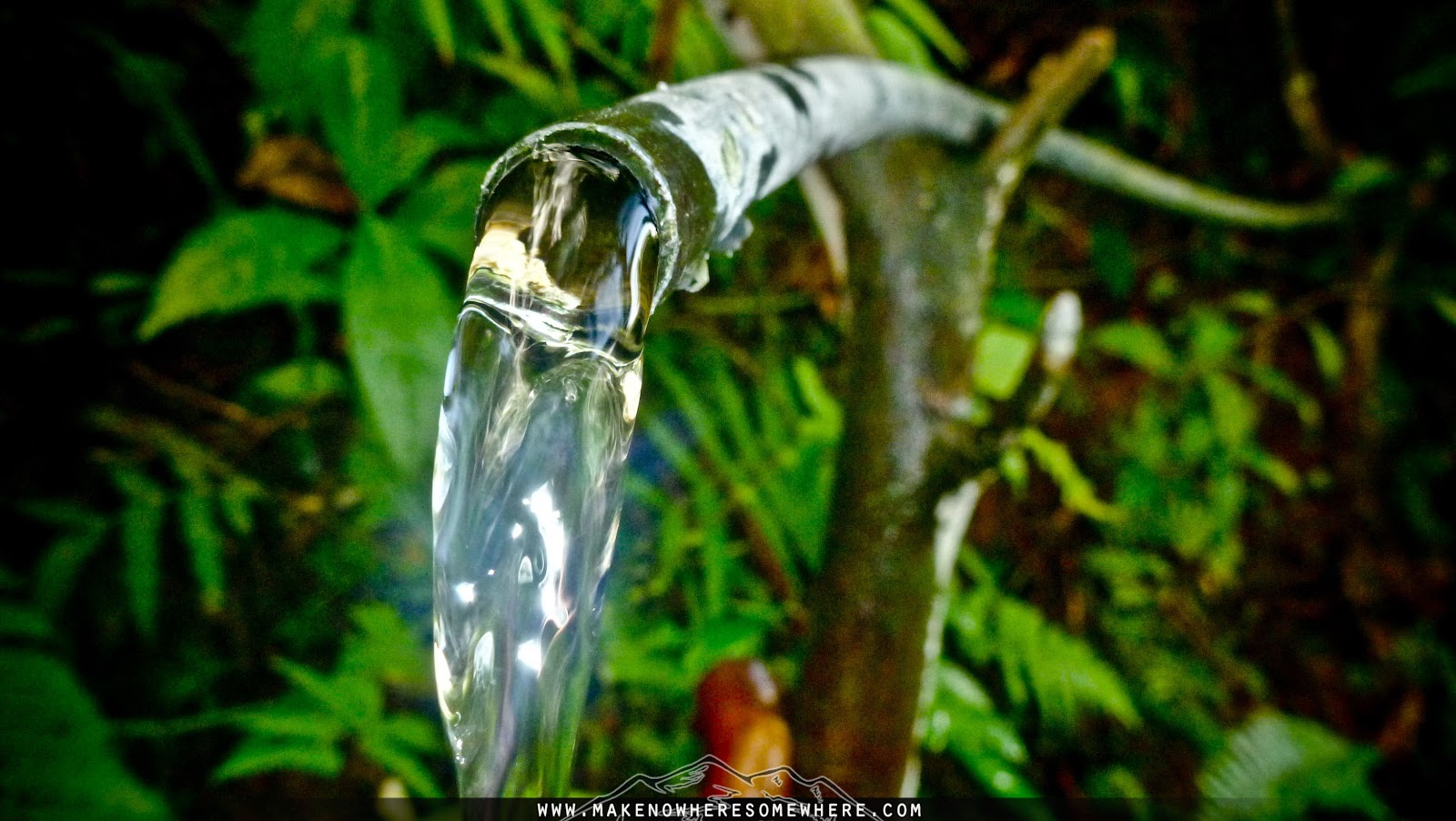
You should be able to pass by the concrete house after an hour of faithful walking. You can also rest here. They have a water source if you ask. Then after a few more yards of assault, a rest area under the trees. From here, the guide should take the path to the right which leads you to pass by a small church. Its not long before you arrive at the Halo Halo stop over.
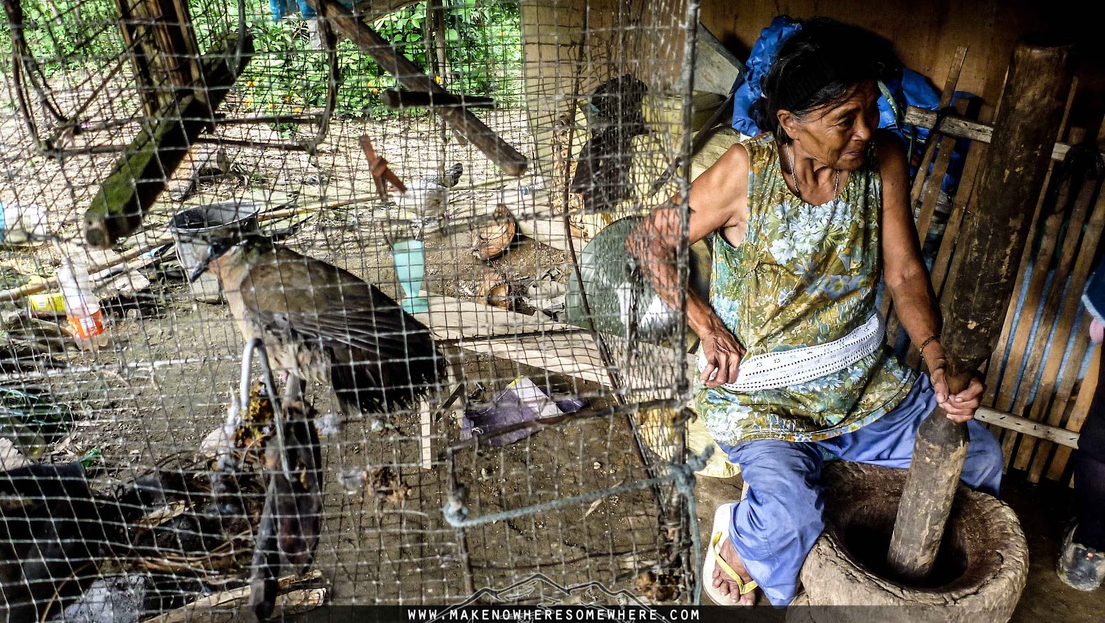 |
| Nanay grinding Batangas coffee beans the old skool way. |

In less than 3 hours, you should arrive at the Halo halo pit stop. Feed the chickens here with halo halo contents via spit, they dig that. LOL. P35 for the Halo halo. Some day hikers are also able to arrange lunch here. Nanay can cook one of her native chickens for you.
 |
| Tatay Narsings Place. |
 |
| Leave no trace. Even when the kids and locals ask you to leave the trash for them to bring down. |
Tatay Narsings ulingan is just a few hundred meters away. Even so, as the hike paves a steep-chill-steep-steep trail, it may already be too exhausting at this point. Good thing is that Tatay offers buko for P20 and as well, there is a water source here that every passerby can take advantage of.
7 - 1st Gate
There are bamboo gates from here that makes sure cattle's and horses do not go roaming about. Your guide will make sure these are closed after passing it by.
 |
| Locals making the trail more friendlier. |

After about 3 and a half hours of hike, from here, brace yourselves as even when the natural combination of a nice river stream, grassy landscapes and picturesque boulders seem nice to the cameras sensors, its hella torture to your legs to assault with a heavy tall pack. Take time to have your pictures taken here to lighten the pressure of tiring yourselves in going hardcore.
9 - Rest area then 2 more gates
When you reach the final rest area, it means you're just about an hour or so from the campsites. The trail here is more forgiving to walk on, as rocks and roots are less painfully scattered for one to thread on.
10 - Camp 1 will finally reveal itself, as a grassland hill welcomes you from the gloom of the sun shaded trail.
 |
| Can pass as a camp site, but don't deprive yourselves as there are better views a few minutes away from here. This is the trail going to Libiran ng Limatik. |

Seeing Camp 1's hill view, If you turn your eyes and look far to your right, you will find a bamboo gate that leads to the trail going to Libiran ng Limatik. A rock formation with a nice view of the surrounding mountains, Maculot and Makiling. Height is around 635MASL. Takes about 20minutes to get there. Steep dive and assault. Leave your packs.
If you still plan to be a hand model, bring gloves as you'll need to grip on trees to elevate your ass. We had to make trail as the established one corroded due to the typhoon-softening the ground to break. There are also plants here with thorns that unknowing hikers make the mistake of grabbing on to. And same with any other forest- there are those stuff that bite and leave itch for days.
Here you'll find the summits water source. If you don't want to do the 10 minute hike to get water, plant your tents here then just visit the other camps in the morning. You can also take a bath here.
13 - Camp 3 and 4
The summit is marked by a grassland clearing. Going to your right side is Camp 4 and to the left is Camp 3. Both are ideal Camp Sites and a glimpse of Mindoro and Mt. Halcon is possible during the day. Since this is an open area, it may be less ideal to spend time here if not under a shade during the high sun.
 |
| Camp 3. |


 |
| Saving space, trimming weight. The Apexus Halcon, without the flysheet |
 |
| To Camp 4. |
 |

 |
| Grassland horses own. |


 |
| Mindoro's Mt. Halcon peaks in the background. |
 |
| Reading at Camp 3. |
 |
 |
| Back at Laiya. |

- Alps' last trip to Manila is at 5:30PM
- Dogs at the summit are notorious thieves. Some report that even in tents, they grab food when they can. Over sleep, We left a cookware half filled with oil we used to deep fry pork chop. It was crazy but even that- the dogs hunger did not let pass.
- There are also accounts that the dogs steal the cookwares itself, and other stuff and brings it to its owners living a few hours away. Yes, they travel that far for the intention. Some folks reason that that certain dog is a mother, reason why it steals for its pups.
- It can get really cold and windy up the summit. Make sure to secure your tents' pegs to avoid any hassles. Lowest I monitored is at least 25 degrees Celsius Even with alcohol, I was brrrring to chillness. Given that, bring more alcohol, I mean, a thick jacket.
- There is a cave below Libiran ng Limatik. Our guide told us that it was once camp to General Malvar when they were hiding from the Japs.
- Help out the kids here by buying fresh buko in the morning. They don't talk that much and usually just hang out in the camps.
- Mornings and evenings are foggy. Forget bringing your tripod to long expose and do time-lapses. It is however useful if you want to take slow shutter shots of Naambon falls.
- 5hours to summit is possible with ample rest in between stops. Squeeze in the side trips when going down but without, it is possible to trail run and reach the Sitios in 2hours.
- Last trip of jeeps from Hugom to San Juan is at 12PM. After such, One will have to take a P40 tricycle ride to the jeeps station then take the jeep going San Juan.
- There are lots of accommodations in Barangay Hugom where you can easily negotiate bath. We paid P35 per head.
- Some also spend the night camping in the Hugom resorts for P100 and do the day hike early in the morning.
Total of Expenses:
| Bus to San Juan | P188 |
| Supplies bought at San Juan Market | P140 |
| Lunch at San Juan | P40 |
| Jeep to Hugom | P40 |
| Registration Fee | P35 |
| Guide Fees | P350/3 |
| Halo-Halo at Tatay Lizardos | P35 |
| Personal Tip to Guide | P100 |
| Softdrinks | P70/3 |
| Bath in Hugom | P35 |
| Chartered Jeep to Pala Pala-Cavite (joined a group of mountaineers) | P200 |
| Bus to Ortigas | P61 |
| Rough Expense Total | P1014 |
**For concerns, email kamalayan@yahoo.com


